
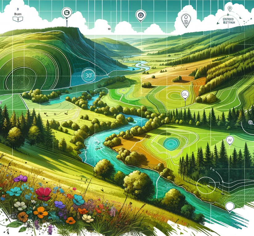
We are a specialist Geographic Information Systems (GIS) consultancy based in the UK, delivering spatial analysis, front-end applications and GIS strategy.
Esri Partner and home of the FRIDAS framework.
Our Vision
A world where spatial data is structured, accessible, and truly usable.
We believe GIS should be more than a technical capability, it should be a clear, consistent foundation for decision-making. Our vision is to set the standard for how spatial data is designed, delivered, and used, through intuitive applications and frameworks like FRIDAS.


Our Offerings

FRIDAS offers independent data audits and a Partner Programme to improve the consistency and reliability of BNG data. With early access audits launching in Autumn 2026, organisations can begin applying a structured approach to data validation across projects and teams.
We develop bespoke front-end GIS applications that transform complex datasets into clear, interactive tools. Designed around your workflows, these applications help teams explore, manage, and communicate spatial data more effectively.