
About EcoSpatial
Our Mission
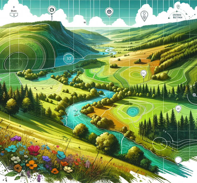
Too many GIS platforms become collections of layers, apps, and dashboards that don’t quite connect. We set out to change that. Real value comes from clarity, and from well-structured data, intuitive applications, and systems that people actually use.
At EcoSpatial, we specialise in spatial analysis and front-end GIS applications that bring consistency and usability to complex data. As an Esri Partner and the home of the FRIDAS framework, we’re committed to raising the standard for how spatial data is organised, delivered, and applied in practice.
Usability
Clarity
Standards
Our Valued Clients and Partners


Meet the Team

Dr Katie Dawson
I lead the technical strategy and project delivery for the business. I am the primary author and developer of the GIS data standards for Biodiversity Net Gain and have vast experience in implementing GIS solutions on a range of cross-sector projects.
My background is in landscape ecology, and the use of GIS to support environmental projects. I am chartered with the RGS and have spent the last 10 years in the field GIS from data management to visualisation.
Technical Director

Chris Dawson
I am responsible for the day-to-day operations of the business, ensuring that our obligations to HR and Health and Safety are met. I also lead in the area of work winning and frameworks, and events planning. We will be exhibiting at GeoBusiness this year and would love for you to stop by and see us.
My background is in business management, I’ves worked across sectors for 12 years.
Operations Director